Map 9 – Iroquoia – Parking reestablished, Guelph Line
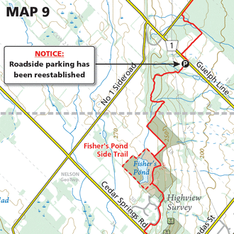
Map 9 – Iroquoia – Parking reestablished, Guelph Line Dec. 7, 2020 | Map 9, Edition 30 Roadside parking has been reestablished at this location. Park within the designated area between the two No Parking signs.